
Project 01 · Tencent
WeMap: real-time urban visualization
Smart City Visualization Platform
Overview
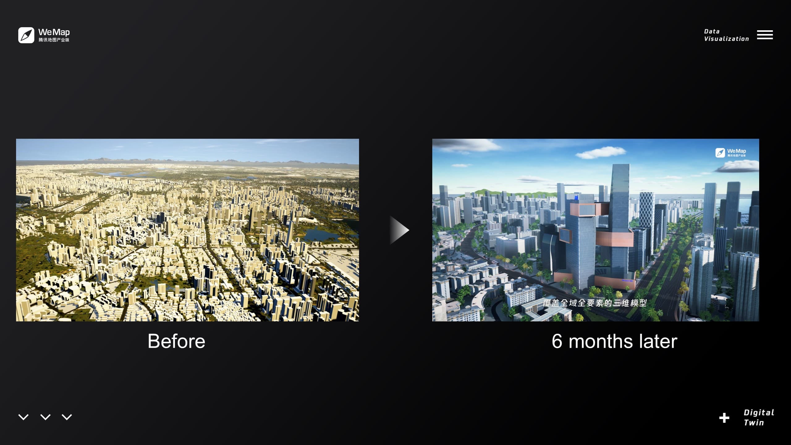
WeMap is Tencent’s large-scale 3D visualization platform developed for government and enterprise clients. It enables city-level digital twins that visualize live data, from traffic and weather to public infrastructure and emergency systems, within a real-time, photorealistic 3D environment.
My Role
As a Senior Technical Real-Time Artist, I was responsible for defining the project’s visual quality standards and bridging art and engineering. My focus was on building the visual layer of the platform, ensuring that every scene, effect, and data feed translated into an immersive and informative user experience.
Visual Direction
I established WeMap’s core look, balancing realism and performance. This included defining lighting direction, material guidelines, and environment palettes for different use cases (urban, coastal, industrial). I also developed UE4-based templates for consistent visual fidelity across multiple cities.
Procedural & Environmental Systems
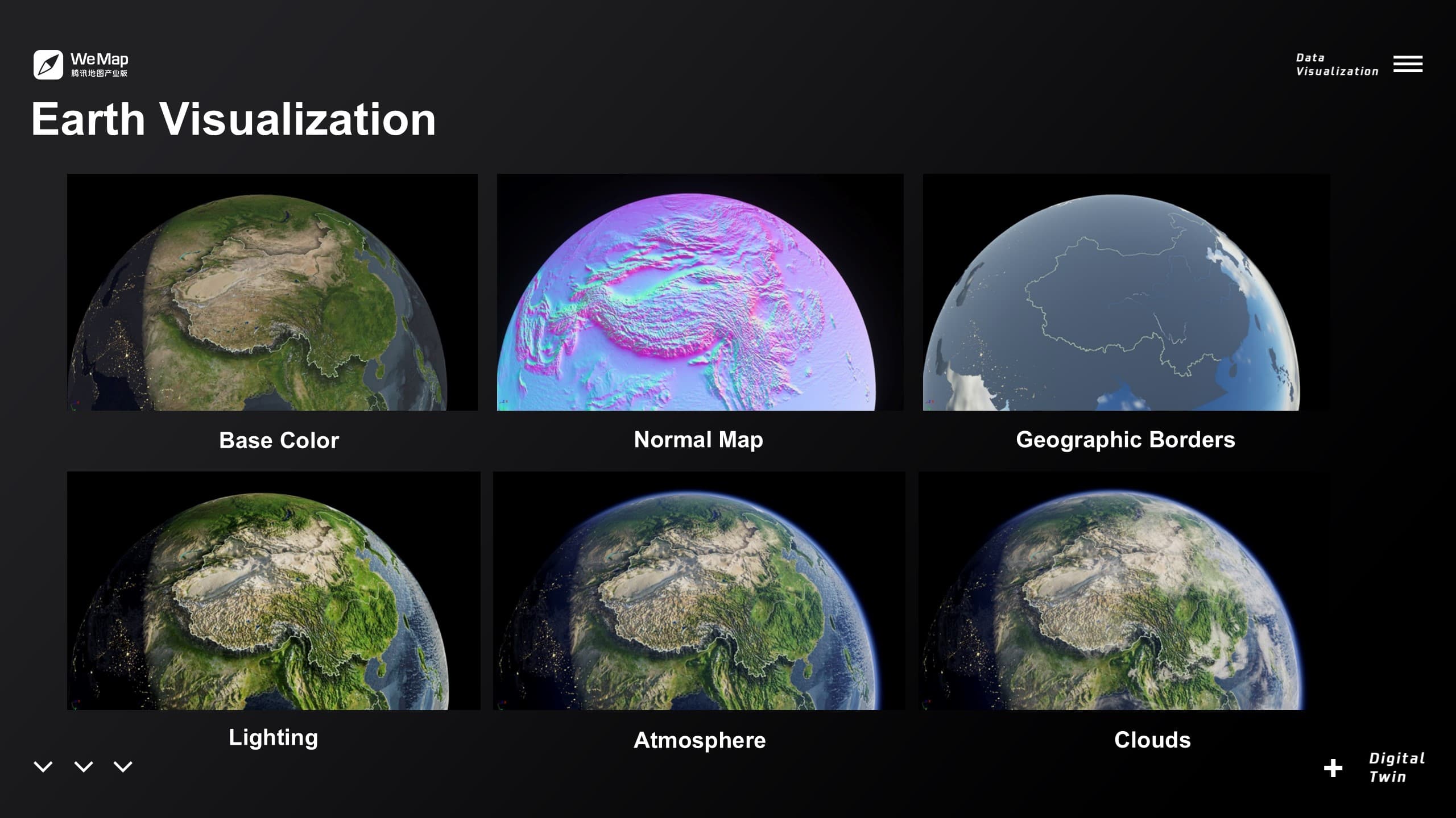
I created procedural effects to simulate dynamic city conditions such as day-night transitions, volumetric weather, and atmospheric scattering. These systems responded to real-time data from the map API, enabling the environment to reflect live states like rain, traffic density, or air quality.
Collaboration & Integration
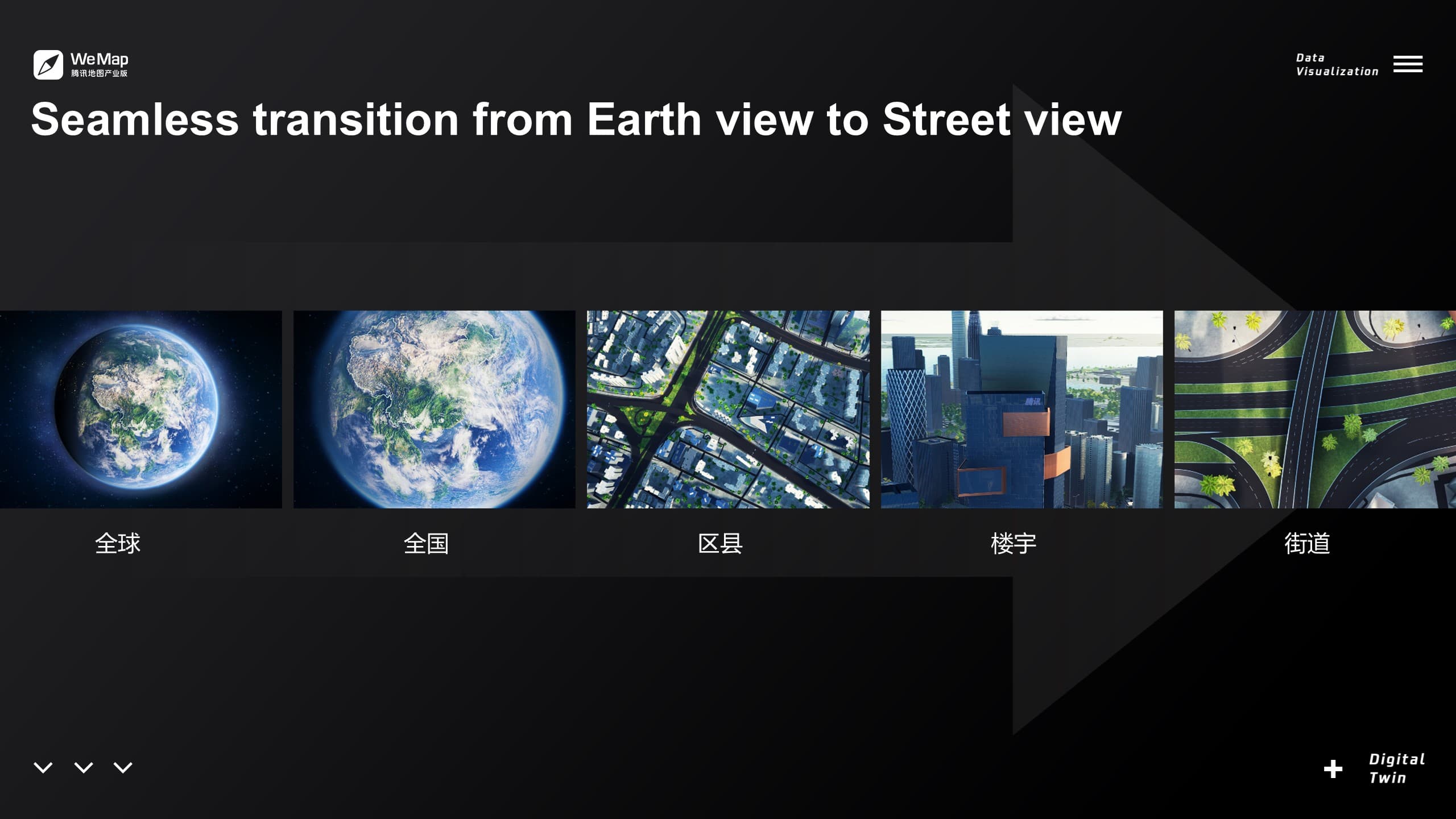
Working closely with Tencent’s developers and data engineers, I helped integrate 3D visualization with backend data systems. This collaboration ensured that live map data correctly drove in-scene animations, lighting changes, and visualization layers within Unreal Engine.
Outcome & Impact
WeMap became one of Tencent’s flagship digital-twin products, used in city management, smart infrastructure planning, and environmental monitoring. The visual framework I helped design set the foundation for later projects, supporting large-scale real-time rendering across multiple Chinese cities.